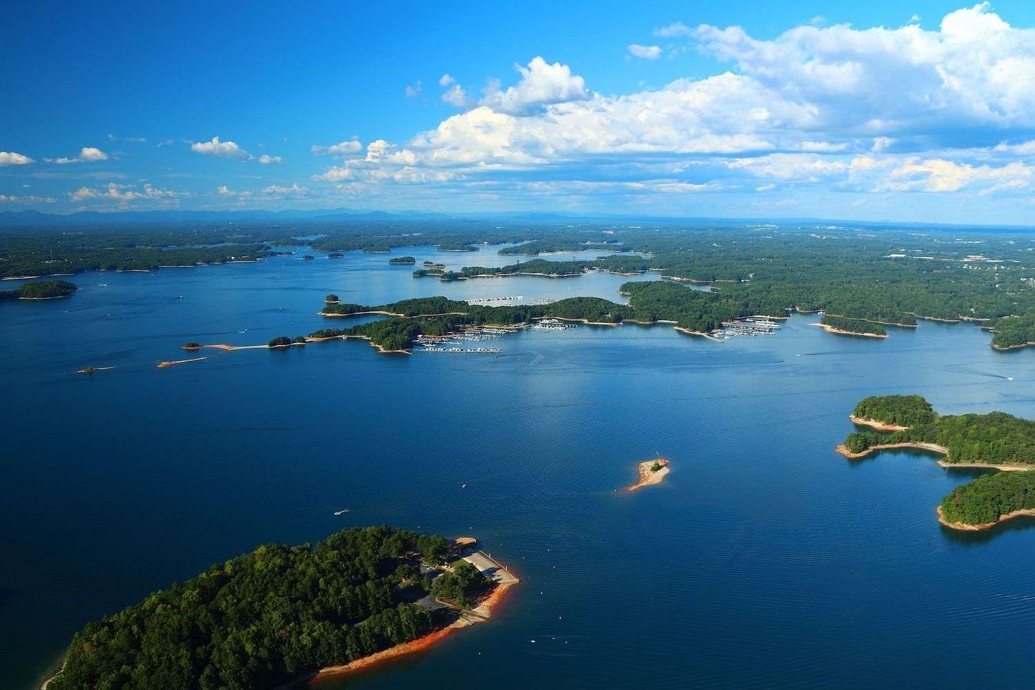
Lake Sidney Lanier was created in 1956 when Buford Dam closed across the Chattahoochee River, flooding farmland, mill villages, and the small communities of Oscarville and Looperville. The dam was a U.S. Army Corps of Engineers project authorized in the late 1940s for flood control, hydroelectric generation, and metro Atlanta water supply, and the resulting reservoir was named for the 19th-century Georgia poet Sidney Lanier.
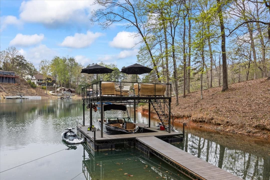
At pool elevation 1,071 feet above sea level, the lake covers roughly 38,000 acres with 690+ miles of shoreline distributed across five counties. Almost every parcel of that shoreline remained federal property and is leased back to the public through the Corps of Engineers shoreline-use permit system, which is why no Lake Lanier homeowner technically owns waterfront in the conventional sense — they own residential land that backs up to federally controlled shoreline, with a permit that governs dock placement, vegetation, and access.
The 1996 Summer Olympics brought the lake international visibility when it hosted the rowing and sprint-canoe events at what is now Lake Lanier Olympic Park in Gainesville. The decades since have shifted the shoreline economy from weekend cabins to full-time residential, and the architectural inventory has shifted with it.